Visual Comparison of Map Projections: Mercator and more
September 18, 2025
projectionstrue size mapreal size mapthe true size of countriesdistortion
This gallery explains how different projections treat area, shape, distance, and direction—and why the real size of places can diverge from their map size. Explore a large gallery at map-projections.
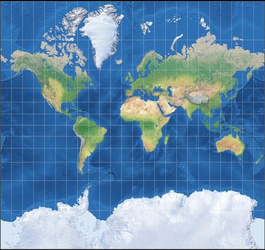
1) Mercator (conformal)
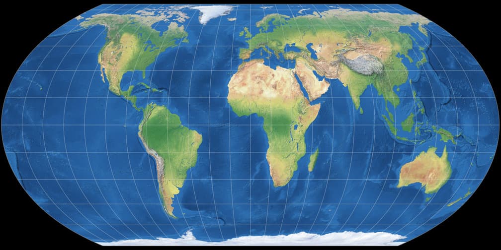
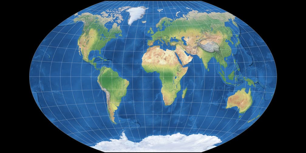
2) Equal Earth (equal-area)
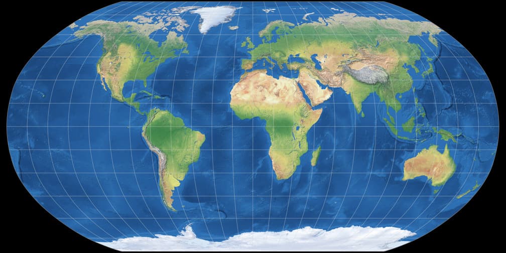
3) Robinson (compromise)
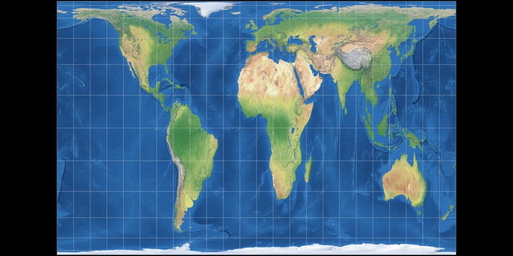
4) Gall–Peters (equal-area)
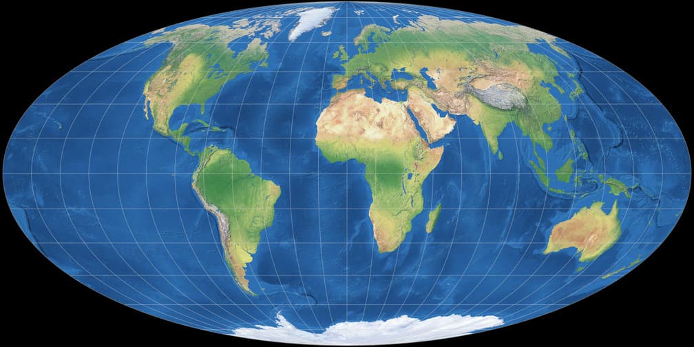
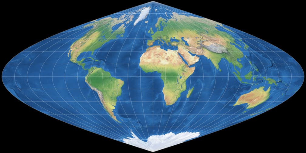
5) Mollweide (equal-area)
6) Winkel Tripel (compromise)
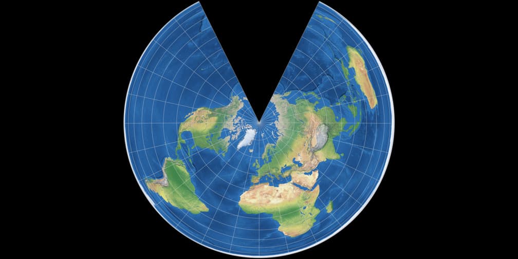
7) Lambert Azimuthal Equal-Area (equal-area, azimuthal)
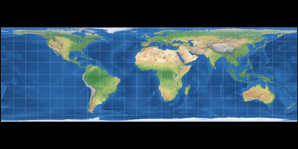
8) Plate Carrée / Equirectangular (cylindrical, simple)
9) Sinusoidal (equal-area)
Which projection should I use?
On TrueSize.World we keep projection switching minimal and instead surface the live exaggeration by latitude plus overlays. That way, anyone can see the real size map relationships—whether for countries, continents, oceans, lakes, islands, or cities.