How to Compare the True Size of Countries and Regions
A quick how-to for your next lesson, explainer, or report—covering countries, continents, oceans, lakes, islands, and cities on our true size map.
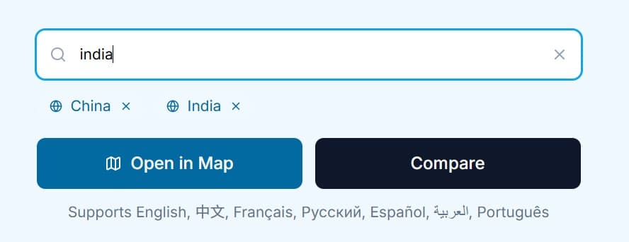
1) Start from Home or Map
Use the search on the homepage (supports names in six languages) to pick one or two entities.
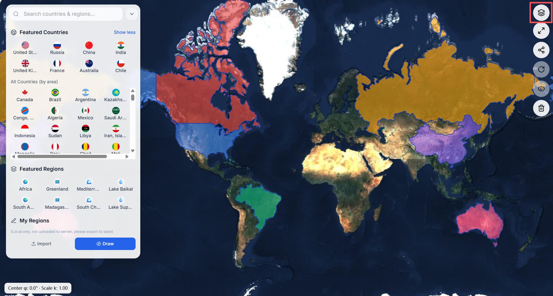
2) Add layers and move them
Inside Interactive Comparison Page, use search to add layers. Drag shapes; the center latitude and exaggeration ratio update live—handy when explaining why "map size" differs from the real size.
3) Make overlays readable
4) Switch basemaps
Choose standard, imagery, or terrain to match your story—coastlines, mountains, urban texture, and more.
5) Bring your own data—locally
Click Import to load GeoJSON; or Draw polygons. Everything stays in your browser. Great for highlighting regions while comparing the true size of lakes, the true size of oceans, or the true size of cities.
6) Export & share
Export GeoJSON. Copy a share link to reopen the exact state in Interactive Comparison Map.
Shortcuts
/ or Cmd/Ctrl+K to focus search; Enter to select.